Way of St. James in Toruń
Way of St. James is one of the oldest and most visited pilgrimage routes in the world, and one of the longest. It leads across Europe to the city of Santiago De Compostela in northwest Spain, where the tomb of one of Jesus Christ's apostles, James the Elder, is located. The local temple, where the saint's remains were laid, is visited by over 300,000 people every year. The number of pilgrims is systematically increasing. They come from different parts of the continent and even the world. This is one of the reasons why St. James is dividing it into numerous sections and branches. One of the main legs of the trail leads from the north - from the Baltic countries to Central Europe - where it connects with other roads. This route, called Camino Polaco, runs through the territory of Poland - from its border with Lithuania (Ogrodniki village) to Słubice or Zgorzelec - towns located on the German border. It also passes through Toruń - extremely important in this respect - because exectly here the Sanctuary of St. James the Apostle is located.
Way of St. James is marked with the image of a yellow shell on a blue background. This symbol can be found along the entire length of the trail. It is associated with a characteristic souvenir that pilgrims bought on the Spanish coast already in the Middle Ages as a confirmation of the completion of the expedition.
St. James (Camino Polaco) in the region can be divided into two sections - northern and southern:
- the first part (northern) leads from Iława (0 km) to Toruń through the following towns - Katarzynki - 8 km, Radomno - 12,5 km, Chrośle - 16,5 km, Nowy Dwór Bratiański - 18 km, Nawrę - 22,5 km, Nowe Miasto Lubawskie - 25,5 km, Kurzętnik - 29,5 km, Lipowiec - 33,5 km, Kaługę - 38 km, Szramowo - 42 km, Pokrzydowo - 44 km, Bachotek - 47 km, Mariany 49,2 km, Tamę Brodzką - 53,4 km, Brodnicę - 59,7 km, Szabdę - 63 km, Mszano - 67 km, Słoszewy - 72,4 km, Radziki Duże - 80,3 km, Tomkowo - 85,5 km, Płonne - 91, 1 km, Szafarnię - 94 km, Golub-Dobrzyń - 102,5 km, Ruziec - 105,2 km, Dulnik - 112 km, Ciechocin - 114,7 km, Jesionkę - 116 km, Szembekowo - 124 km, Brzozówkę - 126,5 km, Złotorię - 137 km, Kaszczorek - 140,3 km, until it finally reaches Toruń - 147 km.
- The second fragment runs from Toruń (0 km) to Trzemeszno via: Zamek Dybowski - 2 km, Fort X - 3,9 km, Małą Nieszawkę - 5,9 km, Małą Nieszawkę - 8,9 km, Wielką Nieszawkę - 9,5 km, Cierpice - 12,4 km, Cierpice (Nadleśnictwo Cierpiszewo) - 14,4 km, Jarki - 19,4 km, Zajezierze - 26,7 km, Gniewkowo - 30 km, Wierzbiczany - 34,5 km, Gąski - 37,5 km, Parchanie - 42,5 km, Kanał Parchański (mostek) - 44,5 km, Niemojewo 47,5 km, Pławinek - 49,5 km, Górę - 51,2 km, Łojewo - 54 km, Szarlej - 57 km, Kruszwicę - 63 km, Łagiewniki - 64 km, Polanowice - 68,5 km, Książ - 72,3 km, Starczewo - 74,8 km, Strzelno - 77,3 km, Łąkie - 81,5 km, Zbytowo - 84,7 km, Gębice - 89 km, Marcinkowo - 90 km, Gozdanin - 93 km, Wylatowo - 94,8 km, Krzyżownicę - 97,8 km, Popielewo - 102,8 km, Zieleń - 105,8 km, it reaches Trzemeszno after 108 km.
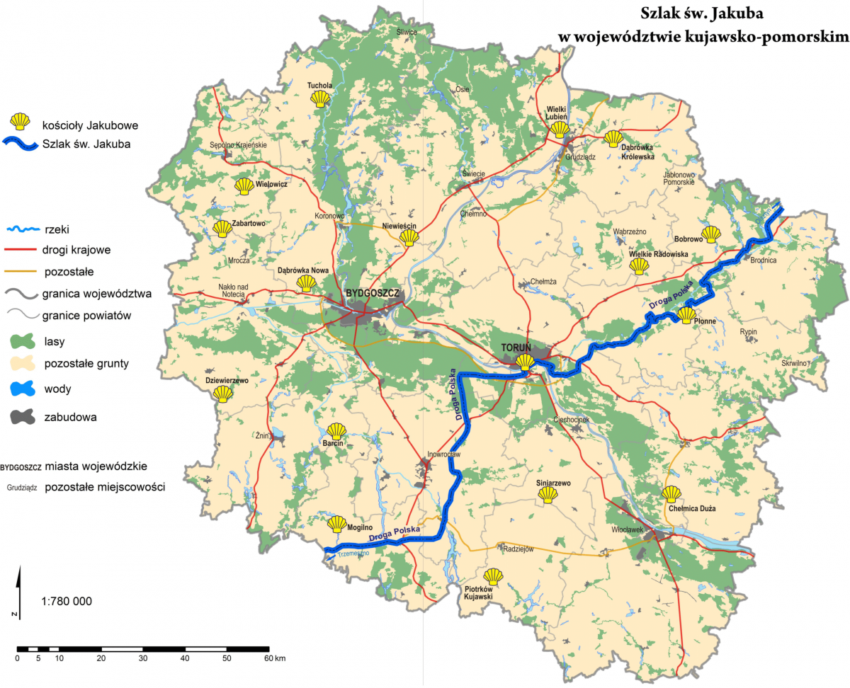
The map below shows the route (blue line) in the Kuyavian-Pomeranian Voivodeship.

Way of St. James shown in Google Maps:
The Way in Toruń
In Toruń itself, the Camino Polaco trail leads along the following streets:
> Turystyczna,
> Winna,
> Winnica,
> Traugutta,
> św. Jakuba (next to St. James Church),
> New Town Square,
> Browarna,
> Piernikarska,
> Bulwar Filadelfijski,
> Monastery Gate,
> Pod Krzywą Wieżą,
> Rapackiego square,
> road bridge of J.Piłsudski,
> and Dybowska, after that it leads to town of Wielka Nieszawka.
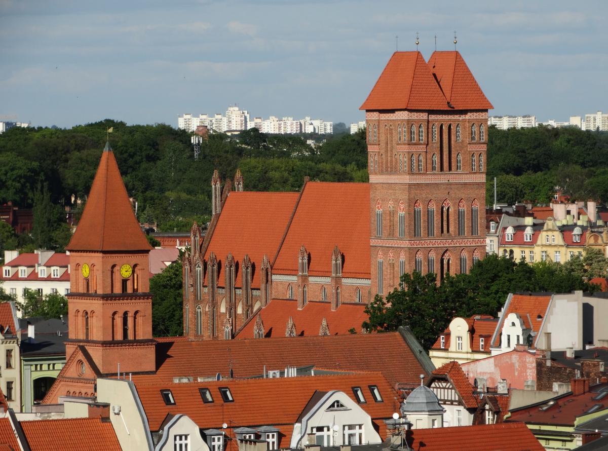
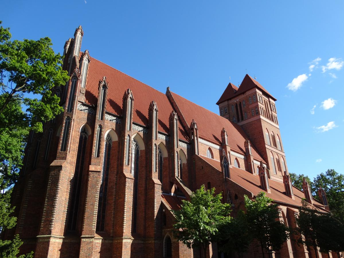
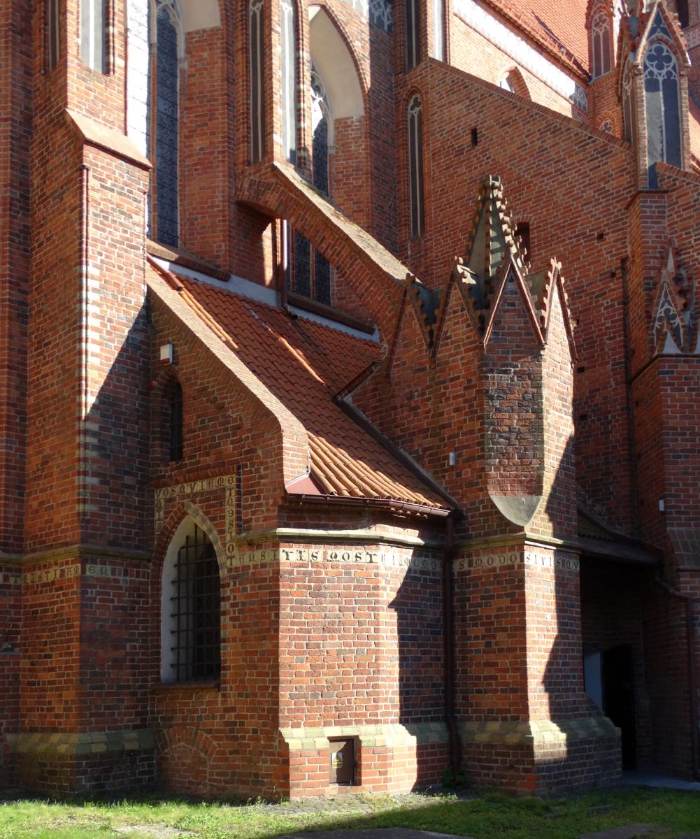
Below: The Sanctuary of St. James in Toruń (OIT)


